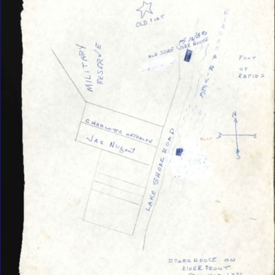
1872 River Front Map (The Old Fort)
Title
1872 River Front Map (The Old Fort)
Description
Listed here is a map layout of the area surrounding the original Old Fort in 1872.
Source
Louis McDermott Collection
Collection
Citation
“1872 River Front Map (The Old Fort),” Fort Erie Local History, accessed November 6, 2025, https://www.fepl.ca/localhistory/items/show/5980.

