Browse Items (10 total)

Graham Property 2

Graham Property 2

Listed here is a map illustrating the property of the Graham family, as well as the various properties surrounding it.
Graham Property

Graham Property

Listed here is a map illustrating the Graham family's property and the various properties surrounding it. Details include a building used in the underground railroad, a row of large northern spruce, homesteads, and a cemetery.
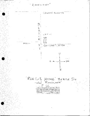
Samuel Runcie "Roselawn"

Samuel Runcie "Roselawn"

Listed here is a property record pertinent to Samuel Runcie and his property known as the Roselawn. The document includes a map of the property and records pertinent to the properties past owners.
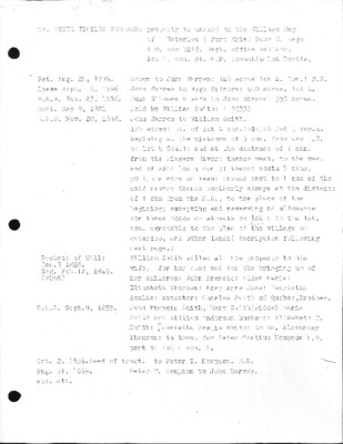
Dr. P.T. Kempson

Dr. P.T. Kempson

Listed here is a document pertinent to Dr. Peter Tertius Kempson, as well as his home and family.
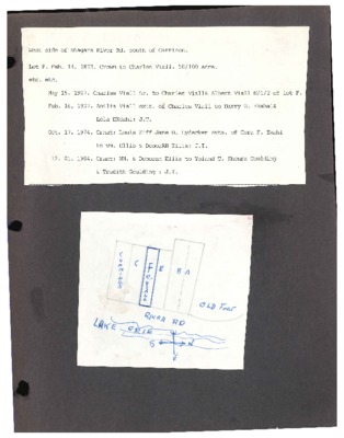
Lot F: Niagara River Rd. West

Lot F: Niagara River Rd. West

Listed here is a document pertinent to a property in Fort Erie on Niagara River Road. It includes a list of dates and owners of the home as well as maps of the area.
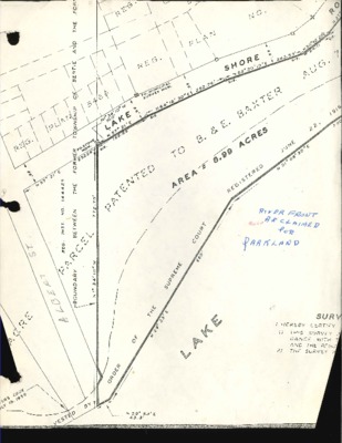
River Front Map

River Front Map

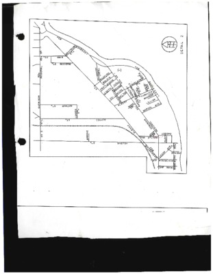
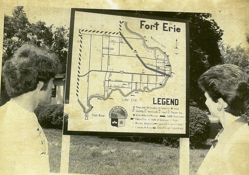
Listed here is a map of Fort Erie's river front.
The Trail of the Conestoga

The Trail of the Conestoga

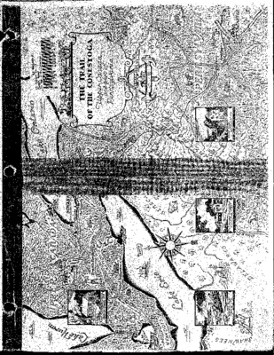
Listed here is a map of the areas surrounding the Great Lakes including Upper Canada and parts of Pennsylvania
Settlement in Central Canada Map

Settlement in Central Canada Map

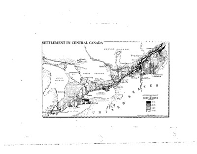
Pictured here is a map of the settlement of early Central Canada, Southern Ontario.
Output Formats:

atom, dcmes-xml, json, omeka-xml, rss2